


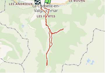


8,8 km | 13,6 km-effort

Usuario


Aplicación GPS de excursión GRATIS
 SityTrail
IGN / Institutos geográficos
SityTrail World
El mundo es suyo
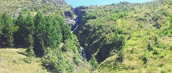
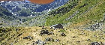
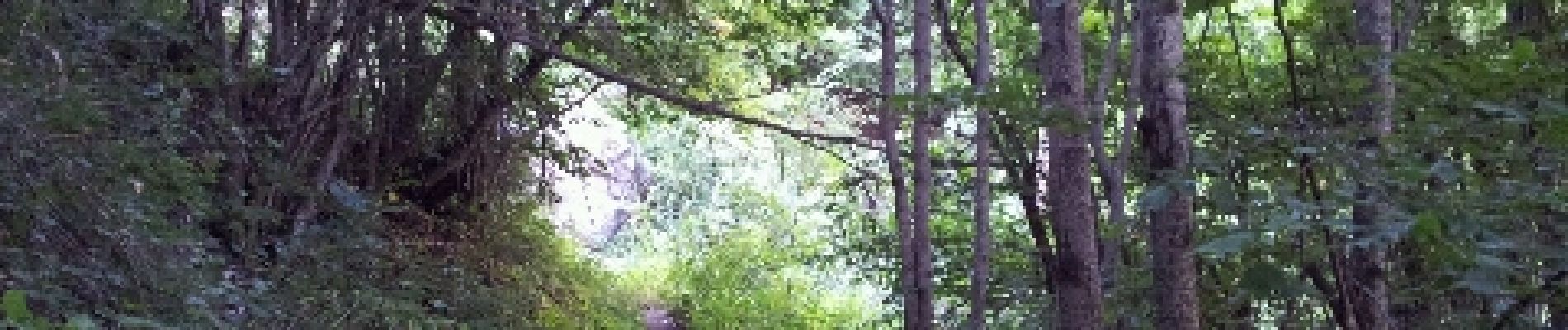
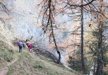
Ruta Carrera de 18,2 km a descubrir en Provenza-Alpes-Costa Azul, Altos Alpes, La Chapelle-en-Valgaudémar. Esta ruta ha sido propuesta por lolosese.
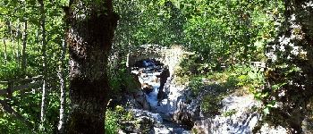
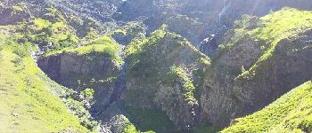
À partir de la Chapelle en Valgaudemar. Détour vers cascade de la Buffe. Randonnée / course. Parcours idéal pour trailer débutant (sauf cascade).


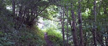
Senderismo

Senderismo

Senderismo

Senderismo

Senderismo

Senderismo

Senderismo

Senderismo
Senderismo